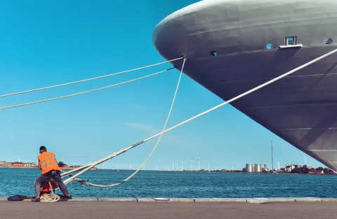
This map shows the city map of San Francisco with Cruise ship terminal Pier 35, main roads and streets, zoom in to find detail location of Points of Interest such as Wifi Hotspot, Shopping (Marshalls, Ross Dress for Less), Pharmacy (GNC, Walgreens) Restaurants (India Clay Oven, Tian Sing), Supermarket ( 7 Eleven, Napoli Market) Fast-food, Post office Money transfer (Western Union) Seaman Center (Pinoy Store) and more. Map of San Francisco is of great help for crew and passangers visiting this city with Cruise ship.
States